"Through soil-friendly harvesting methods and the deliberate retention of biomass in the stand, we sustainably strengthen the ecological quality of the community forest."
Location & Geology
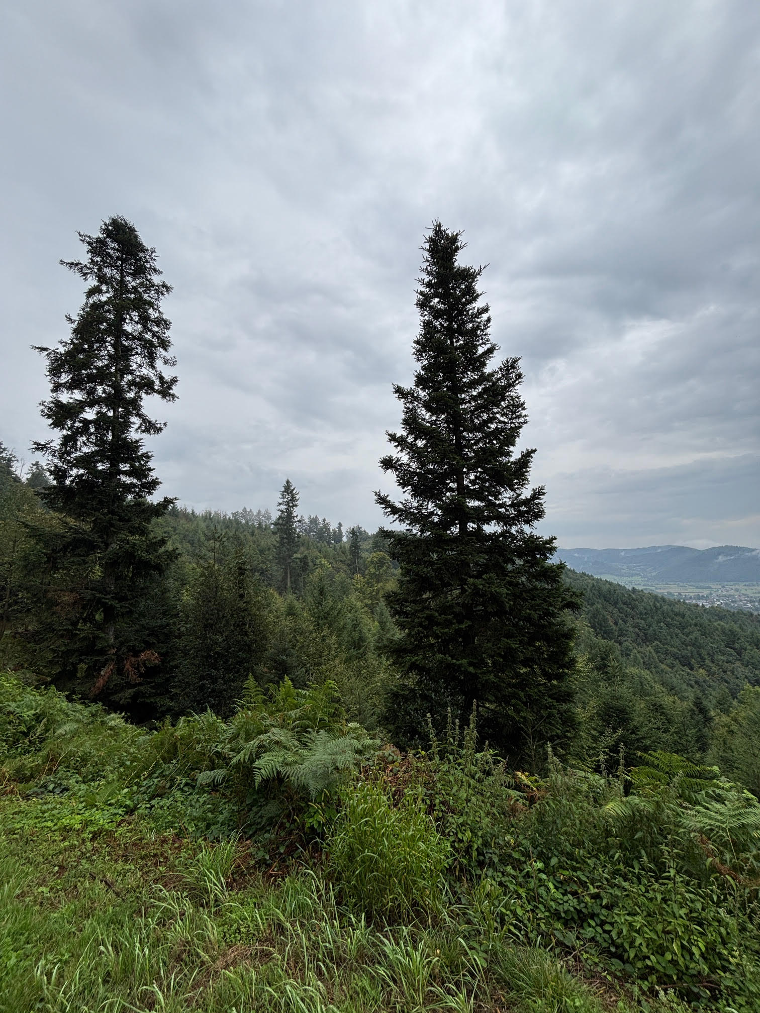
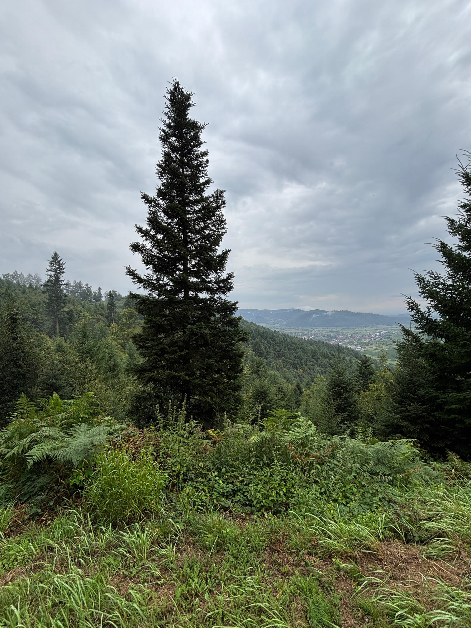
The project forest is located in the Black Forest foothills of the Ortenau region and comprises areas of the Ohlsbach community forest. The natural landscape is characterized by the transition from the flat Upper Rhine valley to the rising, more rugged margins of the Black Forest. Gentle ridges, hollow-like incisions and slope-parallel terrain structures define the landscape.
- Soil: Predominantly well-developed brown soils from loess-influenced cover layers with solid water retention; on steeper slopes, shallower, skeleton-rich variants.
- Climate: Mild foothill climate with a long vegetation period. Increasing drought phases and episodic heavy rainfall require stable, deeply rooted stands.
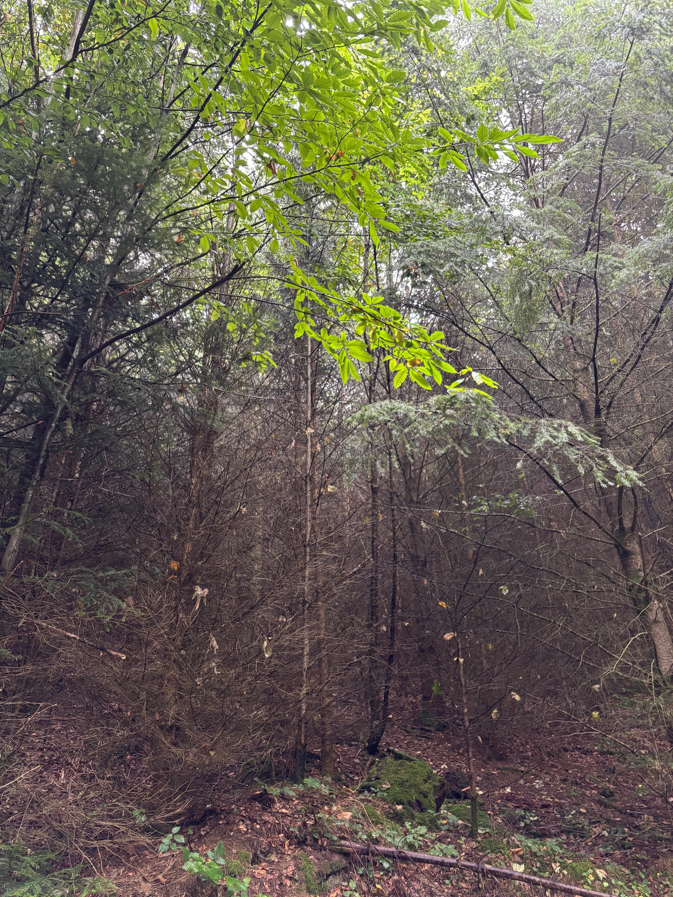
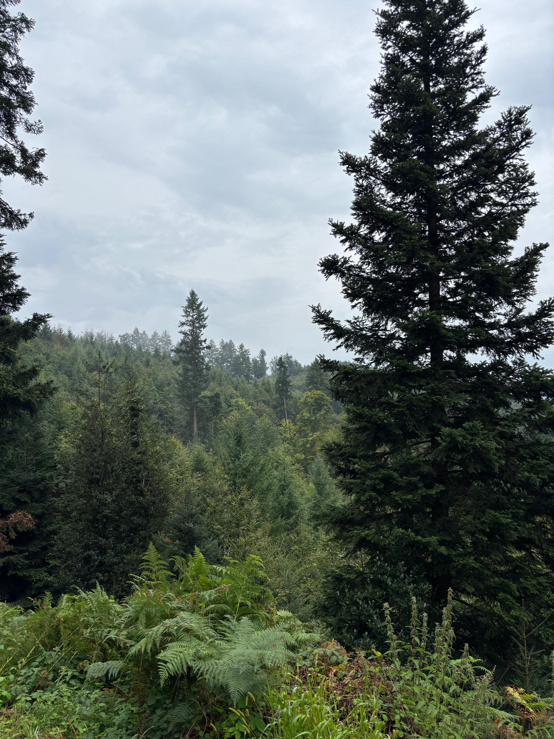
- Vegetation: Deciduous-dominated forests with beech as the leading species, supplemented by oak species, maple, ash and cherry. Occasional conifer shares from earlier management periods.
Stable Continuous Cover Forest Through Close-to-Nature Management
Forest development follows the model of a stable continuous cover forest. Natural regeneration, structure-promoting management and the deliberate handling of deadwood are priorities. On storm-damaged areas, conventional skid trail systems are avoided – timber harvesting is done by ground-pulling or cable crane. By leaving pruned crown parts, horizontal structural diversity is immediately created and soil erosion is prevented. Interventions serve the long-term strengthening of resilience, biodiversity and CO₂ storage capacity.
Permanent Satellite Monitoring
In cooperation with Remote Sensing Solutions GmbH (RSS), we permanently monitor all our forests. If a forest fire or deforestation is detected, tokens are immediately locked.
Your Project, Your Questions
Everything worth knowing about methodology and participation.